The cache we were looking for ("Maryland Marathon") was not the simplest type of cache. It involved visiting 6 sites across the University of Maryland campus to find clues. These clues allowed us to find the coordinates of the actual cache.
In addition to the normal swag we exchanged (we took a little carved box and left Pez dispensers), we took something called a "travel bug". A travel bug is an object whose travels you can track on the web. (As geocaching.com says, "Live vicariously through inanimate objects.") This particular item was a plastic eagle known as Northern Harrier that started out in January in Bowie. It has the goal of visiting state and national parks.
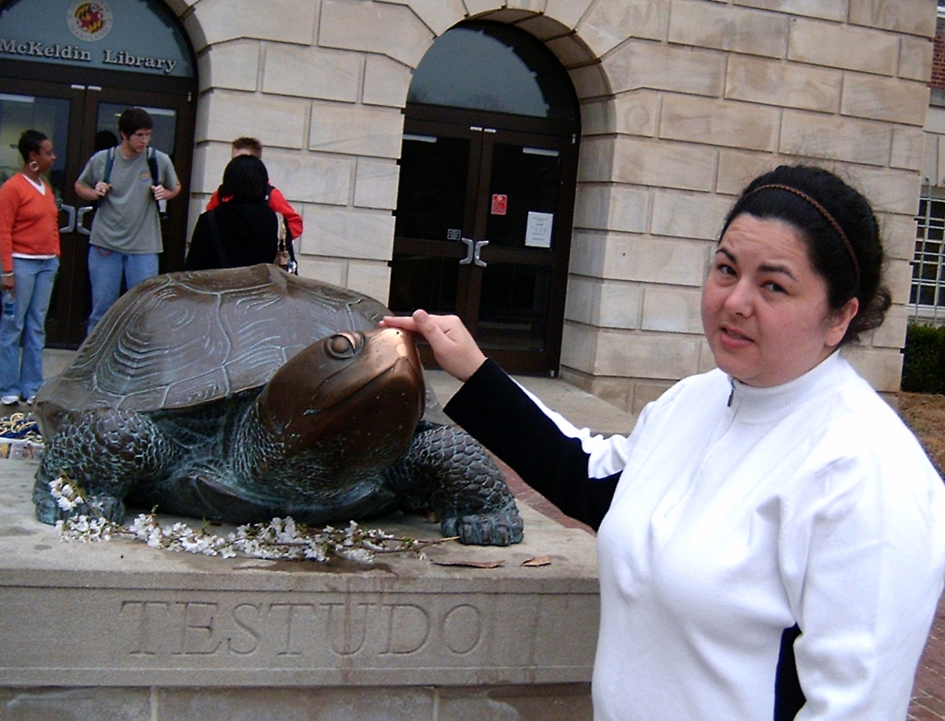
When we got back, I did a little bit more research and read up about the related activity of waymarking. Waymarking is like geocaching without the cache. In other words, the goal is to visit particular coordinates that already contain items of interest. For example, in pursuit of the Maryland Marathon cache, we visited the statue of Testudo, the University of Maryland's mascot. As it turns out, this has been waymarked. So I logged our visit.
On Friday, I continued with this pursuit. At lunch, I went to a car wash that, as it turned out, was near the birthplace of Johns Hopkins.
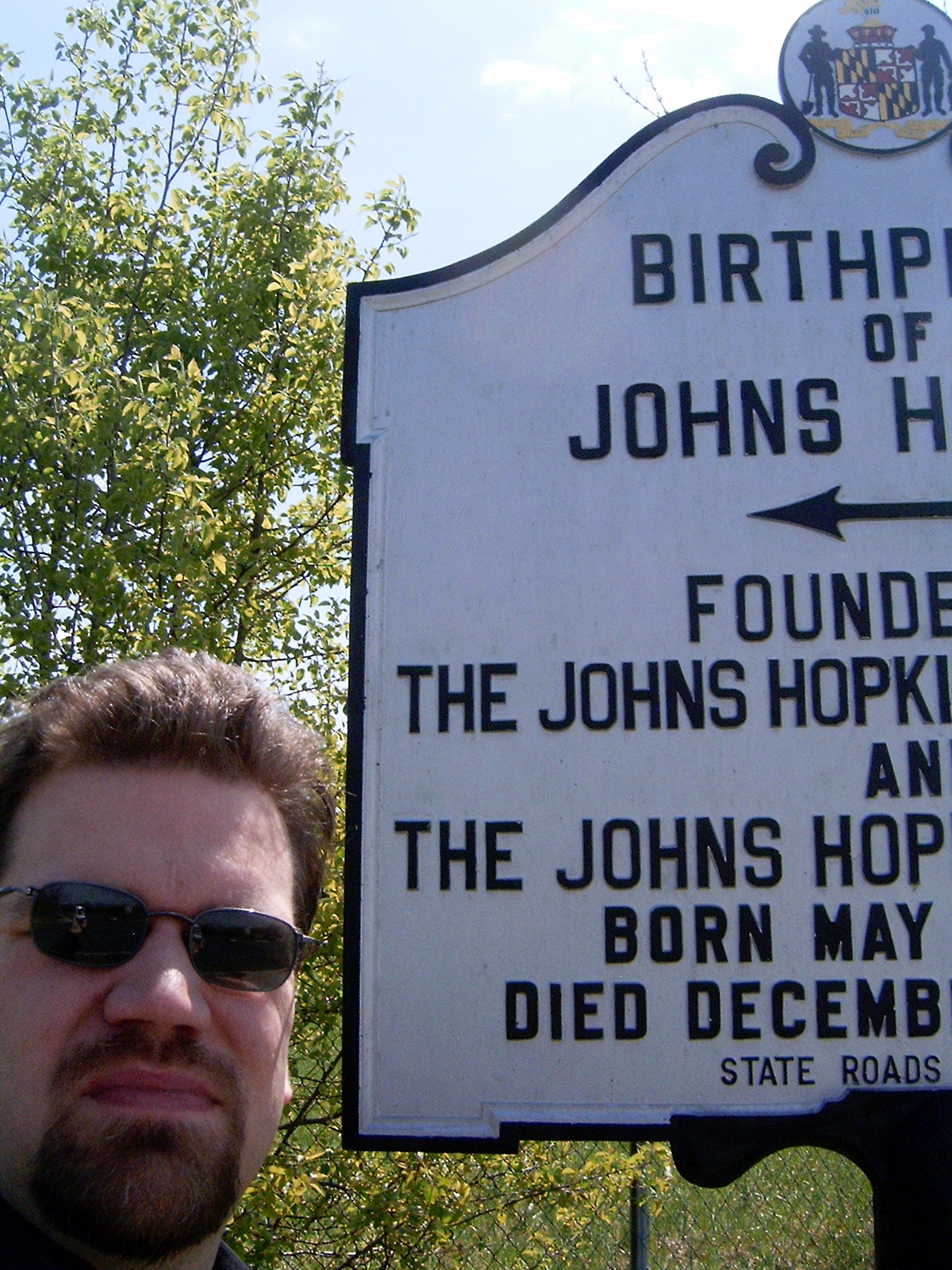 The rules for logging a visit to a Maryland Historical Marker waymark require taking a picture of you or your GPS receiver with the marker, which was a little bit tricky since I was by myself. Later that day, on my way to Paul's, I visited the Patriotic Wheaton cache in a nearby park. In geocaching argot, I TNLNSL.
 Today, I decided to kill several birds with one stone.
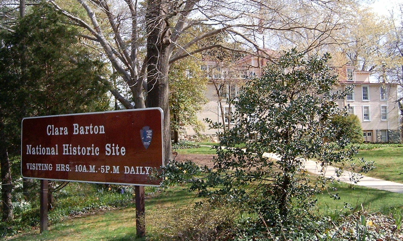 First I went to the Clara Barton House historical marker. Then, because I actually like visiting things, I took a tour of the house itself. I bailed halfway through the tour when it seemed to be more about showing kids how life in the olden days was than about Clara Barton. Then, Northern Harrier and I visited Glen Echo Park, a national park.
 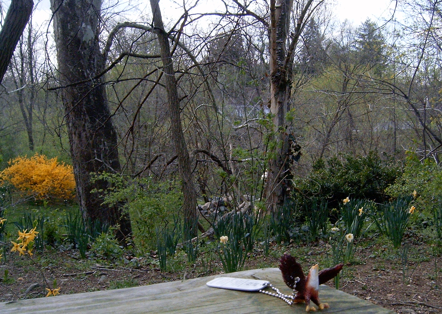 With that part of his mission satisfied, I drove to near the Jason Turns 30! cache, where I dropped off Northern Harrier.
I say "near" the cache, because most of these caches aren't readily car accessible. In this particular case, after parking, I walked down a paved trail that paralleled the road. Then I cut off the paved trail onto an unpaved on through the woods. My GPS receiver still indicated that the cache was 100 or so feet off the trail. Unfortunately, all I saw in that direction was a steep drop. Fortunately, many of the cache listings have clues that you can easily decode. Unfortunately, this clue told me that the cache was in a tree trunk at the bottom of a steep hill. So I clambered down, found the cache and hiked back up. The nice thing about this activity is that you always have a record of where your car is. (Don't forget the spare batteries.)
So as of now, my geocaching and waymarking stats each show 3 visited. Here are links that will update as I visit more.


I'm hoping to talk Christina into another expedition. It's more fun when you have someone to share it with. And the pictures turn out better!
No comments:
Post a Comment